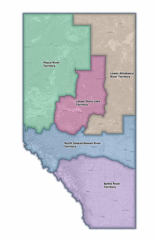
Districts
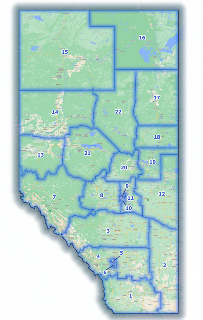
Battle River Territory
1. Foothills Métis District
2. Medicine Hat Métis District
3. Red Deer Métis District
4. Rocky View Métis District
5. Calgary Nose Hill Métis District
6. Calgary Elbow Métis District
North Saskatchewan River Territory
7. Jasper House Métis District
8. Lac Ste. Anne Métis District
9. Fort Edmonton Métis District
10. Edmonton Whitemud Métis District
11. St. Albert Métis District
12. St. Paul-Cold Lake Métis District
Peace River Territory
13. Grande Prairie Métis District
14. Peace River Métis District
15. Fort Vermilion Métis District
Lower Athabasca River Territory
16. Fort Chipewyan Métis District
17. Fort McMurray Métis District
18. Conklin Métis District
19. Lac La Biche Métis District
20. Athabasca Landing Métis District
Lesser Slave Lake Territory
21. Lesser Slave Lake Métis District
22. Wabasca-Desmarais Métis District
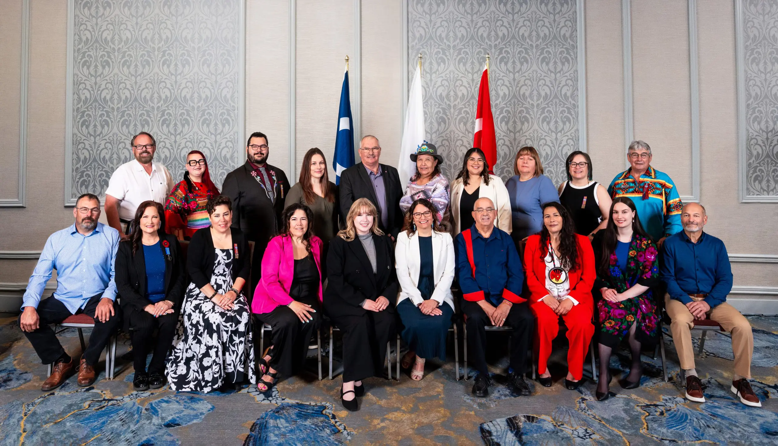
Citizens’ Council & District Captains
Find your Citizens’ Council Representative or District Captain!
About the District Boundaries
The District map is based upon extensive feedback from Citizens that District boundaries should balance the following factors:
- population (more populated areas should have more representation)
- geography (natural features and boundaries, like rivers)
- mobility (boundaries reflect where people live, work, and move about)
- historic Métis presence (boundaries recognize places with histories of self-government)
- remoteness (remote populations have their own District to ensure they receive adequate services)
Learn more about the consultation process on our What We Heard report [pdf]. You can also learn more about the District Boundaries in the District Boundaries Act available in the Registry of Laws.
Click the images below to learn more about the Districts.
